When you first arrive in Colombia one of the first things you will need to do is find out is how to find street addresses in Colombian cities. If you are a foreigner visiting Colombia, how to find street addresses in Colombia is something you will need to understand.
You will need to know how to find the street address of the hotel, hostel or apartment you are staying in or at least how to provide the address to your taxi driver. Also, you will use street addresses all the time when going to restaurants, offices, shops, museums or other places and attractions.
Street addresses in Colombia generally follow a standard grid system. So, once you understand this grid system, it becomes relatively easy to find street addresses in Colombian cities.
Some Medellin Guru readers have asked about finding street addresses. So, we are providing this guide to finding street addresses in Colombian cities and also using maps in Colombia.
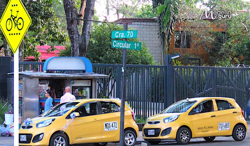
A street sign in Laureles
Street Addresses in Colombia Cities
Street addresses in Colombian cities include several different types and Calle and Carrera are the most common:
- Carrera – runs north and south and the Carrera street numbers increase as you go further west. Abbreviation CR or CRA.
- Calle – runs east and west and the Calle street numbers increase as you go further north. Abbreviation CL.
So, with Calles and Carreras generally running perpendicular to each other, cities in Colombia typically use a grid system.
But to make things interesting you will also find Transversal, Diagonal and Circular. Other types used include Avenida, Autopista and Vía.

Streets can have multiple names – for example: Avenida Jardin and Circular 74A
Also, some streets can have more than one name. For example, Carrera 43A in Medellín is also known as Avenida Poblado.
In rural areas outside of cities where streets aren’t numbered, addresses can be expressed with the nearest milepost and the name of the road. For example, Km 2 Vía Las Palmas is an address near the Km 2 milepost on Viá Las Palmas.

A typical street address sign on a building in Colombia: Carrera 70 # 45E-139
How to Find Street Addresses in Colombian Cities
In Colombian cities, street addresses normally follow this format:
[street name] # [number 1] – [number 2] with the number sign alternatively “No.”
For example, Calle 65 # 10-15 (alternately Calle 65 No. 10-15) would be an address on Calle 65, located about 15 meters from Carrera 10.
Sometimes you will also see INT being included in an address, which stands for interno (internal) and can be an apartment number or office number inside a building.
You won’t see street signs at every corner in the cities and pueblos in Colombia. But instead of street signs you will frequently see at corners signs on the sides of buildings with the street’s name. Also, not every building has a sign with its street address.
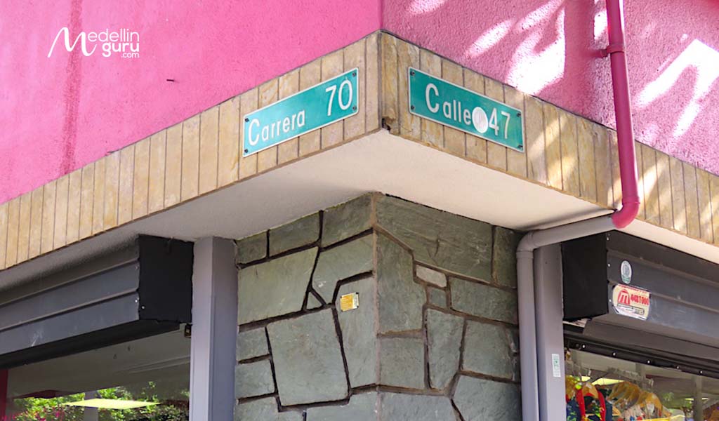
Street name signs on a building at a corner
Post Codes in Colombia
Colombia does have postcodes (zip codes), but they are rarely used. Few people in Colombia know what a post code is, and almost everyone won’t know the postcode for their address.
The national postal service in Colombia, 472, several years ago zoned Colombia, launched a postcode campaign and tried to promote the use of these codes in Colombia. But this never really took off.
The first two digits of a postcode in Colombia is the department, for example:
- Antioquia – 05
- Bogotá D.C. – 11
- Atlántico – 08
- Bolívar – 12
- Cundinamarca – 25
I only had to use a Colombia post code once in over eight years living in Medellín when sending a package via FedEx from the U.S. Administration didn’t know the post code in my building. So, I had to search for a while on the Internet to find out my postcode
You can find Colombia postcodes on the Codigo-Postal website – here are post codes for Medellín and Bogotá.
Using Map Mobile Apps to Find Street Addresses in Colombian Cities
We previously looked at 22 of the best mobile apps to use in Medellín and Colombia. Two of the apps we looked at are maps: Google Maps and Waze.
Both map mobile apps are easy to use and permit you to enter a street address like Calle 65 # 10-15.
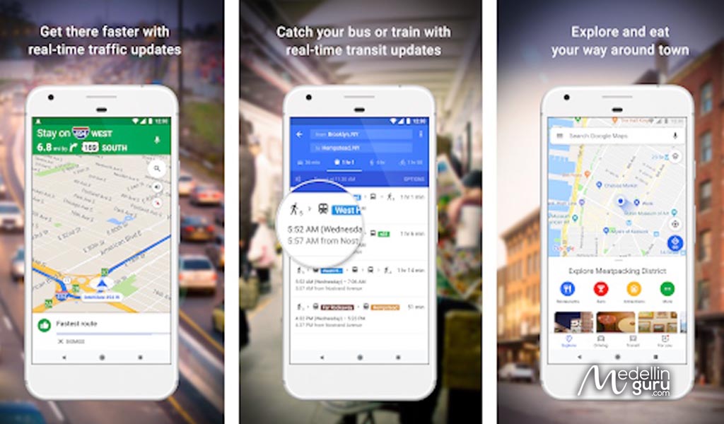
The Google Maps App, courtesy of Google
Google Maps – Free – Android – iPhone
Google Maps is considered the navigation king. The Google Maps mobile app is fairly accurate in Medellín. And I primarily use Google Maps for walking directions and have found that it is pretty reliable.
Google Maps is the most popular navigation app by far. But I prefer the Waze app for use on the road in Medellín, as it seems to do a better job of finding alternate routes to avoid traffic. Google Maps is better for directions when walking.
I use the Google Maps mobile app frequently when walking. I also use Google Maps on my computer to look to see the distance between two points to determine if it’s walkable.
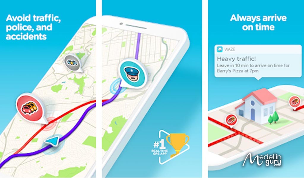
The Waze App, courtesy of Waze
Waze – Free – Android – iPhone
Waze is a maps mobile app that is popular in Medellín and Colombia. I have been using Waze more often than Google Maps for use while in cars.
Waze has a large community of drivers feeding data into the app’s backend. So, Waze is able to better estimate travel times and also find alternate routes to avoid traffic.
The Waze map has real-time color-coded traffic that is normally more accurate than Google Maps. And I have used the alternate routes feature of Waze many times to find faster routes while in taxis.
For example, I used this app twice last week to direct taxi drivers to alternate routes that were faster as they avoided traffic. Also, I have found that some taxi drivers don’t seem to understand the grid system of the streets very well. So, using Waze helps out.
Using Street Maps of Colombian Cities
Physical street maps of Colombian cities can be difficult to find. Unlike in the U.S., where street maps can be found being sold in many places including local convenience stores, street maps are more difficult to find in Colombia.
If you would like to have a street map, check with local tourist offices. They sometimes have city maps and I have picked up maps from tourist offices in Cartagena, Medellín and Pereira and even some pueblos like San Carlos.
Also, I was able to buy a large street map of Medellín at the Panamericana book store on Avenida Poblado in Medellín. They had maps of several cities available for sale. But I had to ask for them, as they were in a filing cabinet and not out for display.
The physical street maps of Colombian cities are easy to use but I have found some are missing streets.

There aren’t just Calle and Carrera being used – also Circular, Transversal, Diagonal, Avenida, Autopista and Vía
The Bottom Line: How to Find Street Addresses in Colombian Cities
Once you understand the grid system used in Colombia it becomes relatively easy to find street addresses in Colombia cities and pueblos.
All the articles on this website include street addresses of the places we have covered including restaurants, malls, shops and museums.
In addition, I highly recommend using the mobile apps Google Maps and Waze. I use both map apps frequently. And I rarely use physical street maps even though I have several.
And in these applications, you can not only use directions, you can also reach your destination by putting the name of the place. For example: Parque Arví, without having to have the address. In Medellín it is very common for people not to know their addresses.
Editors note: updated on June 28, 2023 with new information about the apps to look up directions and new images.
Sign up for the Free Medellin Guru Newsletter – You can see all of the previous Medellin Guru weekly email newsletters and sign up here.















21 thoughts on “How to Find Street Addresses in Colombian Cities and Using Maps – Update 2023”
Good article except my address is Pereira Samaria 1 Mz 21. Looking around the internet, i find Mz means Block, so Block 21. A map of Samaria 1 I see no block numbers.
Thanks
Allen
I have an address but need a Zip code for Amazon delivery.
Its:
Calle 75 #72B 110 APTO 25 05
Can you help, please?
Jake, try this. I used it for Fed-X
https://codigo-postal.co/en-us/colombia/
Hello- I don’t see nowhere in your site of your address? or phone. Can you please m=send me the address- I would like to use your service.
What service are looking to use?
We offer several services thought partners – see our article about Medellin Guru Services for Expats – https://medellinguru.com/services-for-expats-colombia/
I have a friend who lives in Tower block 3
Cra54a#169-60
Cundimacara, Bogota, Colombia. Is there a postal Code for this.
Do you know the reasoning why Carrera is sometimes KR in addition to CR ?
Seen it on buildings and Transmileno
The “-XX” portion or third number (aka House number) is really in Meters distance?
Have wondered about KR, not sure about that. Yes, the “-XX” portion or third number is supposed to be meters in distance but not sure if is always true.
Geopostcodes link doesn’t work. Searching returns no results. It may be a paid service
Here is another website that works, and includes interactive map with boundaries
https://codigo-postal.co
https://codigo-postal.co/colombia/antioquia/medellin/
https://codigo-postal.co/en-us/colombia/bogota-dc/
Thanks, Geopostcodes used to work. Replaced with Codigo-Postal.
I agree – this is a valuable article. I didn’t know about the second number either.
I think, though, that you meant to say that carrera numbers go up as you head west, not north. And calle number generally go up as you head north. I say generally, because Medellin has a twist. As you start from the north of the city and head south, the calle numbers do indeed decrease. However, they get down to 1 before you run out of city, so the next streets is 1 Sur, 2 Sur, etc., increasing as you go south.
For example, Centro Comercial Santafé is at the intersection of Avenida Poblado and Calle 9 Sur, and Parque el Poblado is at the intersection of Avenida Poblado and Calle 9. Very similar addresses, but they are 18 blocks apart.
To make it even more confusing, if you are on the east side of the river and continue south into Envigado, the Medellin numbering system continues, with the “Sur” calle numbers continuing to increase. However, if you are on the west side, when you get to Itagui they start over with their own high numbers.
Hi John, thanks. I meant to say as you are going north on a Carrera the [number 1] after the street name (or calles) increase as you go north. But I reworded to “the Carrera street numbers increase as you go further west” and “the Calle street numbers increase as you go further north” to make it less confusing.
Great Article. I finally figured this out on my own a year ago except for the second number, Now it all makes sense. I had the same problem you had trying to send a package from the states to Medellin with FedEx. I messaged Casacol and they gave me the link to geopostcodes. I thought if funny that a International Shipping Co. did not have postal codes for Colombia. Considering the business done between the US and Colombia and the fact that FedEx has a package service office at Cr43A and Calle 10. Keep up the good work, their are many who appreciate your work that you may never hear from.
Thanks for this very helpful article that will make getting around in Colombian cities much easier.
This article is a godsend. Thank you Medellin Guru. I’ve never really been lost when I visit the city but this article definitely helps me navigate better. Now that it’s been explained to me it makes a little more sense. So in a way, the No. indicated on the business represents the number of meters from the nearest cross street? Interesting. It kinda makes sense…kinda. 🙂
Hi Jeff, thanks. When I first moved here I thought the number 2 in [street name] # [number 1] – [number 2] was a house number until a Colombian explained it was the number of meters from the “number 1” cross street. And I verified that with several others.
You have to be careful. While it’s usually true that the number would mean the distance from the nearest cross street, sometimes those streets do not physically exist. For example, going south our of the town where I live, the lowest numbered calle is Calle 6. But, as you continue out of town on the carrera, the house numbers continue to be based on where Calles 1 to 5 would be if they exisited. I have a friend who lives on that carrera at #05-02. There will never be a Calle 5 built there unless they plan to knock down a church and a bunch of apartment buildings.
The same thing happens in Medellin. A lot of streets start and stop as you go through the city. For example, if you are looking for Cra. 7a, 23-15, you will find that the two closest cross streets are Calles 22 and 24 since Calle 23 does not exist for a few blocks.
Nice article that should be helpful for many foreigners visiting Colombia. Several taxis I have used have had problems finding addresses so agree that you should have Waze on your phone to help out.
The streets of Colombia are so cute. Great Post!
Great article as always! I have been wondering what the numbers after the street number meant and now that I know it will make it even easier to find my way around, and know how close I am to my destination when walking.
I sure haven’t found any traditional street signs like the one you show in Laureles here in Sabaneta! LOL
A tip for those like me that Spanish still isn’t great. Learn how to quickly switch the speaking language in your mapping app between English and Spanish, I have switched mine to Spanish a couple of times to help a Taxi driver out.
Hi Pete, thanks! Yes, I also haven’t seen any street signs in Sabaneta, just some signs on the sides of buildings at some corners.